Login
Register
Home
About Us
Services
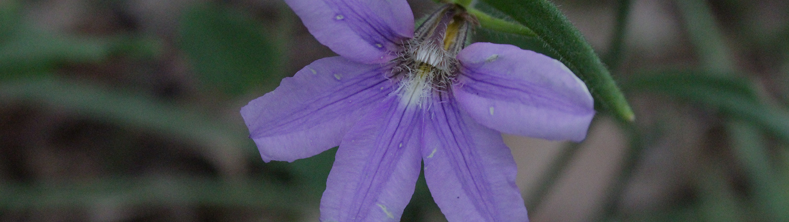
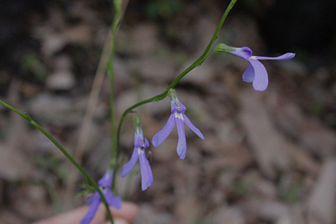
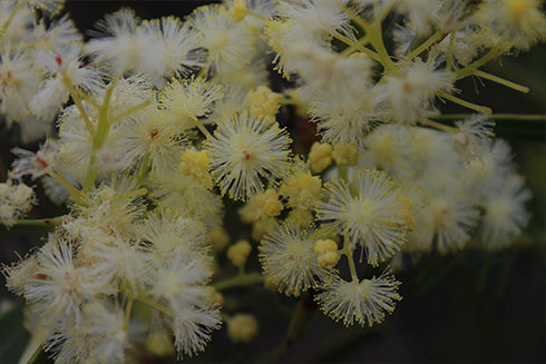
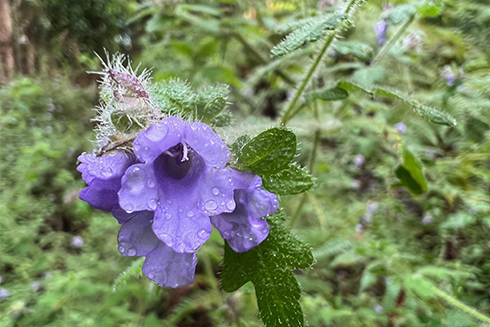
Flora & Fauna Assessment & Survey
Ecological Restoration
Threatened Species
Geographic Information Systems
Biosecurity
Freshwater And Estuarine Ecology
Projects
Contact Us
0412 667 048
paul@geckoecology.com.au
Home
About Us
Services
Flora & Fauna Assessment & Survey
Ecological Restoration
Threatened Species
Geographic Information Systems
Biosecurity
Freshwater And Estuarine Ecology
Projects
Contact Us
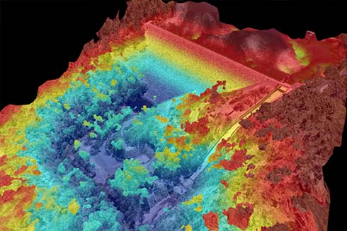
Geographic Information Systems
Geographic Information Systems
Geographic Information Systems
- Map preparation
- Remote sensing with Unmanned Aerial Vehicles (UAV)
- Orthomosaic production
- Spatial data analysis
- Three-dimensional (3D) and visualisation tools
- Data capture and management
Our Services Include:
Flora & Fauna Assessment & Survey
Ecological Restoration
Threatened Species
Geographic Information Systems
Biosecurity
Freshwater and Estuarine Ecology